The ‘Geographical mapping method’ is a method developed by us to understand the most vulnerable population.
Mapping refers to a process of estimating the numbers of particular populations to be addressed by the intervention in a certain geographical area, classifying the subcategories within that population, identifying the locations and availability of each of those subcategories in that particular geographical area, and deriving basic insights.
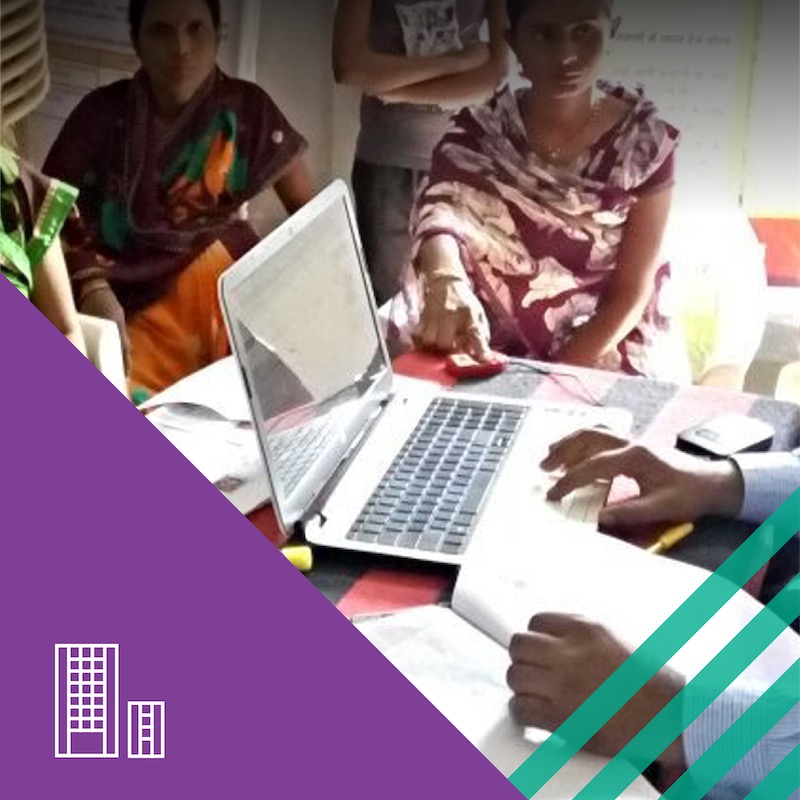
It employs clearly understandable and verifiable procedures that can reduce potential embarrassment, ensure confidentiality, involve primary stakeholders in the data collection process, and support researchers in securing the trust and cooperation of respondents. The process involves a simple interview methodology to collect data from the key informers (primary, secondary and tertiary key informers)
The key techniques used in the study are:
- Clean slate method
- Snowballing technique
- Reaching saturation point
- Triangulation
This methodology has been scaled up and used in over 800 towns and 35,000 villages in India and across Pakistan and Canada, as well. It has reached 628,424 respondents.